

The Met Office issued an amber weather warning for one part of Merseyside
18:22, 04 Apr 2026Updated 19:06, 04 Apr 2026
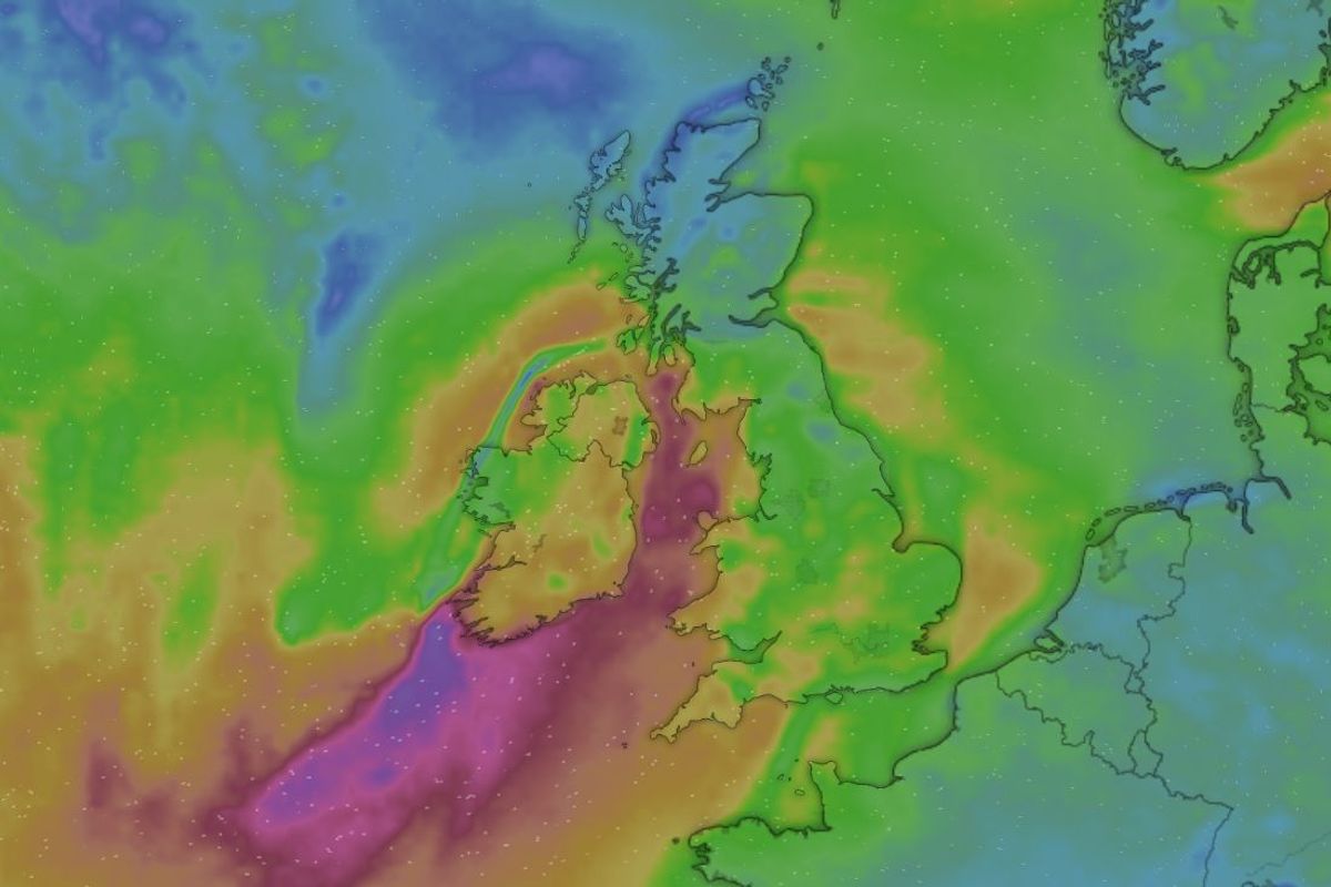
A live wind tracker is available as Storm Dave hits the UK
A weather tracker has been shared, allowing people in Merseyside to track the high-speed winds hitting the region. The Met Office today shared a “threat to life” amber weather warning for Southport, with the rest of Merseyside covered by a yellow weather warning as Storm Dave hits the UK.
Parts of Lancashire, North Yorkshire, Northumberland, North Wales and Scotland are also covered by the amber warning, which takes effect at 7pm today (Saturday, April 4) and is due to remain in place until 3am on Sunday (Sunday, April 5). A yellow weather warning covers the rest of Merseyside, taking effect from 5pm until 7am tomorrow.
Those travelling over the Easter weekend have been warned of potential disruption on roads, as well as on rail, air and ferry services.
Greg Dewhurst, a Met Office meteorologist, said: “There is cold air across Scotland at the moment and, as the rain pushes across this afternoon, it is going to turn to snow.
“We’ll see heavy snow forming across parts of the Highlands as we go through the rest of the afternoon into the evening time and early hours, as much as 20 to 30 centimetres could fall over the higher ground, and five to 10 centimetres over lower ground.”
Listing what to expect, the Met Office said:
Longer journey times and cancellations likely, as road, rail, air and ferry services may be affectedSome roads and bridges likely to closeFlying debris is likely and could lead to Injuries or danger to lifeProbably some damage to buildings, such as tiles blown from roofsThere is a good chance that power cuts may occur, with the potential to affect other services, such as mobile phone coverageInjuries and danger to life is likely from large waves and beach material being thrown onto coastal roads, sea fronts and properties
Following the warnings from the Met Office, the ECHO has shared Windy.com’s live tracker of the winds expected as a result of Storm Dave.
The introduction of the amber weather warning comes after Sefton Council took the decision to cancel its Cristal Palace event in the town this weekend.
On the council’s Facebook page, a spokesperson said: “We can confirm after extensive discussions, tonight’s free Cristal Palace showcase will not go ahead due to the expected serious impact of Storm David.
“This decision has been taken not only due to the effects it will have on the crane & chandelier but more importantly to protect the safety of our audiences, staff, performers and volunteers on the ground.
“This is hugely disappointing for all involved. Performers have travelled from France with hundreds of people behind the scenes working incredibly hard for months to try and deliver this show for everybody to enjoy. We would like to thank them for their tireless efforts.

The Cristal Palace event was cancelled by Sefton Council this weekend
“We’d especially like to send a huge thank you to the dozens of local young dancers and brilliant volunteer performers who still had a chance to share their talent in front of their hometown yesterday evening.
“Finally thank you to everyone who travelled into Southport to show their support for the event and especially those who showed such understanding and kindness to our staff for the safety decisions taken. Your support for Southport and its local businesses is invaluable.
“We are already working hard to bring some aspects of the show back later this year and further details will be provided in due course.”
The Met Office also warned drivers to drive slowly to mimise the impact of wind gusts, be aware of any high-sided vehicles on exposed roads and be cautious when overtaking.
People on the coast have also been warned of high waves and even from the shore large breaking waves can sweep people off their feet and out to sea.
The Met Office website said: “A spell of very strong southwesterly, then westerly winds is expected across north Wales, northern England and southern Scotland on Saturday evening and overnight before easing early on Sunday.
“Gusts of 60-70 mph are possible widely with some coastal or exposed locations seeing gusts of around 80 mph.”
Temperatures are set to rise after Easter Monday as warmer air comes from Europe.
Mr Dewhurst said: “On Tuesday, warmer air moves in across England and Wales from the near continent through Tuesday and into Wednesday.
“We will see temperatures rising to the low 20s, with highs around 20C or 21C on Tuesday, and possibly 23C or 24C come Wednesday.
“The sunniest skies on Wednesday may be limited to south-east England, where 23 and 24 is most likely.”
He added that mid-20s temperatures are normal for April as the sun starts getting stronger.
The Met Office still has multiple yellow and amber weather warnings in place for wind covering the whole of mainland Scotland, Northern Ireland, parts of northern England and North Wales from Saturday evening into Sunday.
There could also be dangerous conditions from large waves along the coastline as well as gusts of up to 90mph in exposed areas.
Storm Dave will hit hardest on Saturday evening, before beginning to weaken on Sunday as it moves into the North Sea.